Wolin
Is the name both of an island in the Baltic Sea, just off the Polish coast, and a town on that island. It is separated from the island of Usedom (Uznam) by the Świnia river, and from mainland Pomorze by the Dzwina river.
The island has an area of 265 km2 and its highest point is Mount Grzywacz at 116 m above sea level.Water from the river Odra flows into the Szczecin Lagoon and from there through the Peene west of Usedom, Świnia and Dzwina into the Bay of Prometerian in the Baltic Sea.
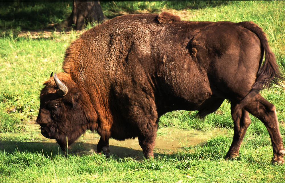
Most of the island consists of forests and postglacial hills. In the middle is the Wolin National Park.
The island is a main tourist attraction of northwestern Poland, and it is crossed by several specially marked tourist trails, such as 73-kilometer long trail from Międzyzdroje to Dziwnówek.
There is a main, electrified rail line, which connects Szczecin and Świnoujście, plus the international roadE65 crosses the island.

Wolin National Park

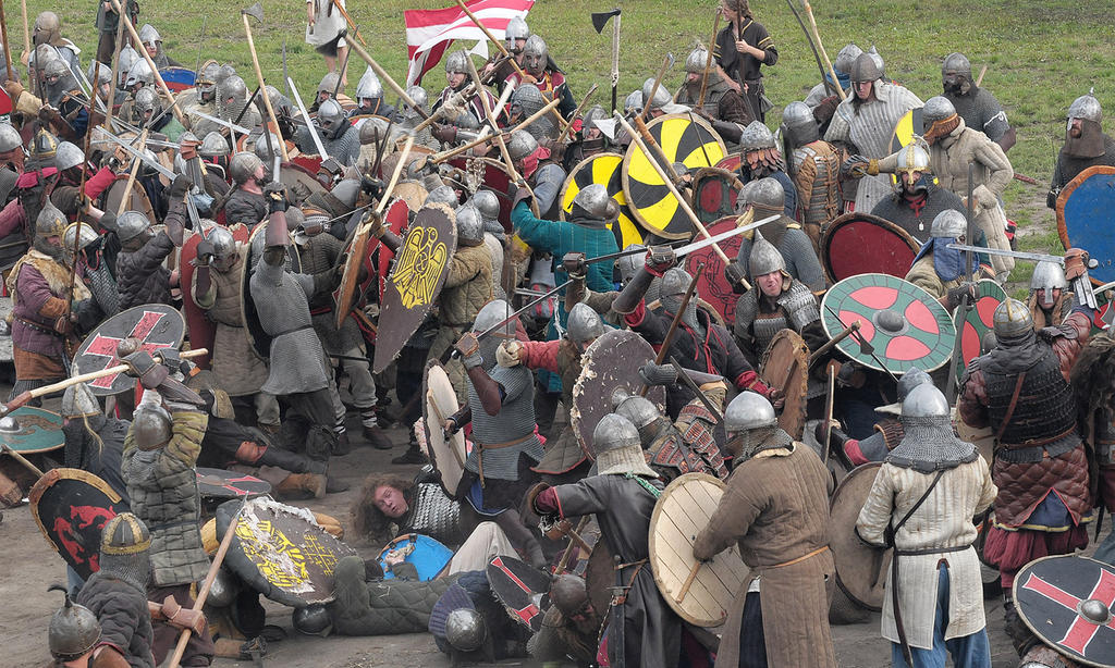
Viking festival
Each year the Viking Festival is organized. This refers to the fact that formerly vikings inhabited the island.